Natural History of the SF Bay Area
With Diane West-Bourke
DIRECTIONS TO HIKES - WINTER 2022
Meet at 10AM at trailhead unless noted otherwise; please carpool whenever possible. Hikes conclude by 3PM. Distances approximate — check local maps. Hikes are ranked 1, 2, or 3, from easiest to more challenging in terms of length, elevation &/or terrain.

ALMADEN QUICKSILVER —McAbee entrance; 2/3
From Hwy 85 at Almaden Expressway (A.Exp.) in San Jose, head S on
A. Exp. Turn RT on Mc Abee Road ( S of Coleman) and follow it to its end. Roadside parking; no restrooms.
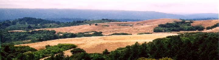
CANADA DEL ORO OPEN SPACE PRESERVE; 2/3
From Hwy 101 S in San Jose, exit W on Bailey. Turn LF onto McKean, skirting Calero Park. Turn RT onto Casa Loma Road; continue about 1 mile to parking area on LF.
COYOTE HILLS REGIONAL PARK, Newark —bring binoculars; 2
From Hwy 101 in Palo Alto, take Hwy 84 E across the Dumbarton Bridge. Soon after the toll plaza, exit N on Paseo Padre, turning LF. Soon turn LF again onto Patterson Ranch Rd to enter the park. Meet near visitor center.
FOOTHILLS PARK; 2
From Hwy 280 in Palo Alto, exit W on Page Mill Road. Climb up for several curvy miles. At main park entrance, turn RT. Meet near entry station & restrooms.
NATURAL BRIDGES STATE PARK (+ TBA) — binoculars; 1
Take Hwy 17 to Santa Cruz; exit N on Hwy 1 / Mission St. At N end of town, turn LF on Swift St., cross train tracks, turn RT on Delaware. Park along street near the Natural Bridges Drive intersection and a gated park road.
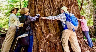
FOREST OF NISENE MARKS STATE PARK; 2
Take Hwy 17 to Hwy 1 in Santa Cruz—head S about 6 miles. Exit E at Seacliff Beach, heading inland. Turn RT on Soquel Drive, then LF on Aptos Creek Rd., just past the train trestle. Continue 3 miles into the park. Park near the locked gate at Porter Picnic Area.
|